Trinidad, Cuba. This year's destination?
The Route and Navigation
|
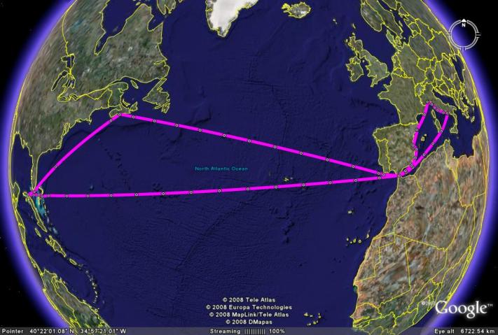
This is where we plan to go, leaving the ship in Havana for 5 weeks cycling. |
At the bottom of this page are google earth maps of some possible routes. Go to the Links and Downloads page to find downloadable files of our routes in Cuba and detailed instructions on using Google Earth for preparing routes and converting them to different file formats.
There is no real logic in deciding where we go. The idea grows in an organic sort of way and we eventually come to a consensus on the route. For this journey we owe a lot to Fred and Pat who had travelled independently by bike in Cuba a few years ago. The stoker had long phone calls with them in County Durham. Once she had given the go ahead the management was allowed to get on with the planning.
The basic routes were inspired by the Lonely Planet Cycling Cuba, now out of print but kindly lent by Fred and Pat. They also lent us a 1,250,000 scale map, a scale which is not much use to cyclists but we could not find anything better in the UK.
Before going further the management had a whole load of computer problems to solve. These are the minor consequences of extremism by both the USA and the Cubans, the others, including Guantánamo Bay, are much worse. Garmin, being from the USA, dont publish a digital map of Cuba which is any use. The Cubans for their part dont allow GPS devices into the country.
Garmin, once a company renowned for good solid software and superb help and support, has deteriorated to the point where it is now worse than useless. The management got nothing useful from any of the Garmin help desks and a considerable amount of misinformation. The result of days of work is a downloaded unofficial digital map of Cuba on our PC in Garmin format. It works with the latest version of Garmin mapping software. The management has also worked out how to up and download this information to a Garmin GPS package. It is really amazing that he can do more with Garmin software than they can themselves. They should really get rid of their front office and get back to basic programming which they are good at.
Taking the basic route from the Cycling Cuba book the management drew it onto the digital Cuba map with the MapSource track draw tool. Having done that he is then able to use a view option in Mapsource to view this track in Google Earth.
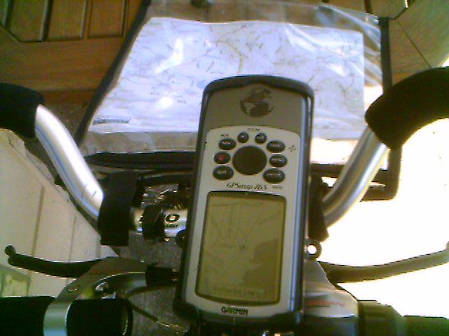 |
GPS, with the route loaded, mounted on the handlebars and the printed map in an old fashioned map case which is all we are allowed in Cuba |
Seeing the track in Google Earth has a number of advantages. It is often possible to see where the map is inaccurate and find where insufficient information is shown on the digital map. The management then uses the Google Earth path draw tool to draw an accurate route in Google Earth. He then saves this and converts it back to Garmin format for use with the Garmin GPS package.
The next stage is to save the route as a paper and electronic map. Google Earth has the facility to export a screen view as a digital photograph which can be stored on a computer and printed. We are then able to ride using the printed photograph as a map. We are also able to magnify the digital photograph on the computer to check the detail of the ride. This is especially useful in Cuba where we do not expect to be able to get a wifi connection.
We will do the detailed route planning on the voyage to Cuba. We will try to work out how far we will cycle on moving on days and where we expect to find places to stay. This will also need to be refined on the rides when we know more about the cycling and the accommodation on offer.
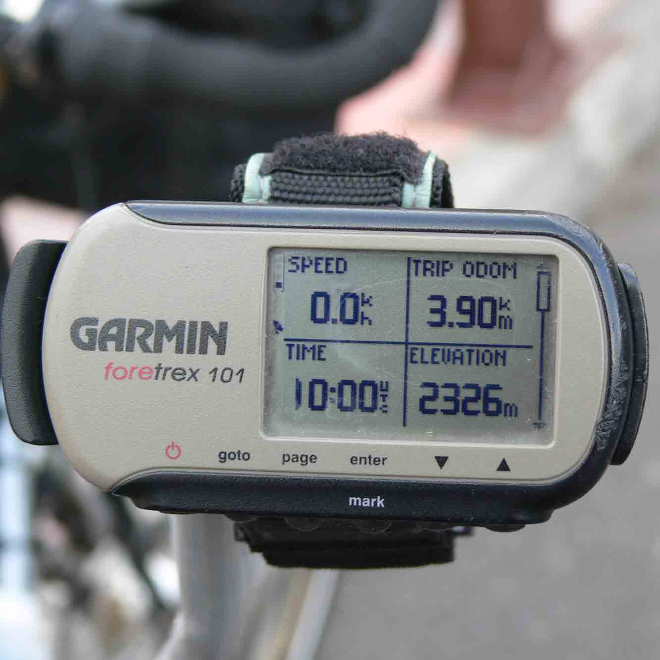 |
SmartyPants, a Garmin Foretrex GPS with over 8,000 miles on the clock |
On the road the management usually has the GPS with the route loaded mounted on the handlebars and the printed map in a map case. That way he can see the detailed picture on the GPS screen and the bigger picture on the paper map. On this trip he will have to place reliance on the paper maps.
Following the rebuild of the tandem in 2005 we decided that we no longer wanted the old fashioned inconvenience of cycle computers. But the stoker wants trip information. She has her faithful SmartyPants, a Garmin Foretrex GPS with over 8,000 miles on the clock, and this also works well. It needs a clear view of the sky, not easy to get on the stokers handlebars, and it cannot load maps even if they existed. But it is very small and not too expensive and does have track back when the management gets lost. It remains to convince customs that it is a cycle computer rather than a GPS ..
Routes
View Larger Map
Our route Havana to Trinidad
View Larger Map
Our route Trinidad to Havana
View Larger Map
Our route Havana to Isla de la Juventud
View Larger Map
Our route in Havana City Centre
View Larger Map
Our route in Havana to west Cuba
Home
Cuban tips + tricks
Route and Navigation
Voyage Out 1
Voyage Out 2
Week 1
Week 2
Week 3
Week 4
Week 5
Return Voyage 1
Return Voyage 2
Cargo Ship Travel
Stoker's Leg
Bike and Gear
Transporting Bikes
Photos
Links and Downloads