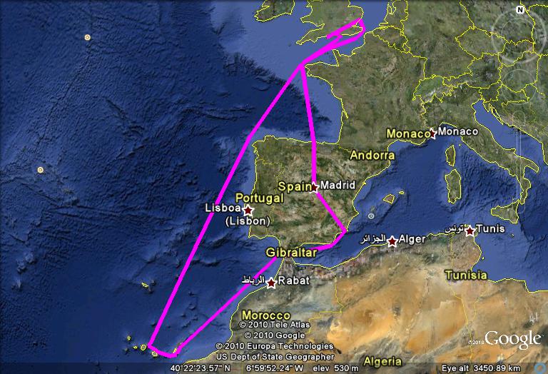
This is the interactive map of the route plan. We do not expect the management to stick to it. We will also be doing day rides. It is possible to zoom in and out on the map and the minor roads will then show. You can also get other views.
When we get back we will put downloadable routes as we rode them on this page. It will then be possible to view them in Google Earth, download them to a GPS or for computer mapping.
Travel by cargo ship bus train and ferry