Yaiza is not only the administrative centre for the area but also an important place in the history of Lanzarote. It was the nearest village to the southwest to survive the volcanic eruptions which happened between 1730 and 1736. The then priest of the village documented the turn of events. The lava flow from the eruptions engulfed ten villages and covered 20 percent of the island’s land mass.
The highlight of our stay here and also an important inspiration for the whole trip was a guided walk in the Timanfaya National Park. The park covers the area of the 1730 volcanic eruptions and cannot be entered on foot except on one of these organised walk. The stoker booked it in November as soon as the date became available on the internet.
We had a very early start for us, 8.30am. The lovely 75 minute ride was up through the lava fields. The early morning sun was highlighting the lichen, the “Lanzarote snow”. The management gave the stoker much credit for the effort she put in on the climb to ensure we were not late.
At the visitor centre we had to sign a disclaimer before being taken by mini bus to the start of the walk. Carlos, our excellent guide, explained much that we did not know about the eruptions, lava fields, geology and the wildlife.
The most difficult thing to comprehend is that only 270 years ago, in the space of six years, a complete transformation took place. What was then a fertile farming area became covered in molten lava, new mountains were pushed up and rock “bombs” came raining down.
Fortunately the eruptions were not continuous and the populations of the ten villages destroyed had time to move north and no one was killed. The “eruptions” were actually implosions which caused the lava to flow from fissures in the sides of the collapsed mountains. The effect of these implosions was for fine ash and some heavier rocks, bombs, to be shot into the sky.
All the mountains to the south west, down wind of the eruptions, are covered in a layer of ash rather like snow. The rest of the area is covered by the lava flows. And the rock bombs are of some use as they enable geologists to calculate the force of the blasts.
Slowly people have returned to the area and developed ways of cultivating mainly figs and vines. The ash enables the collection of just enough water from overnight dew to enable this process on an island where there are no natural springs or rivers.
The walk was cleverly planned so that Carlos took us to the start of our walk while a colleague took another group to the end of our walk. We passed in the middle and the guides exchanged mini bus keys. Perhaps this is the way footsloggers could be organised?
|
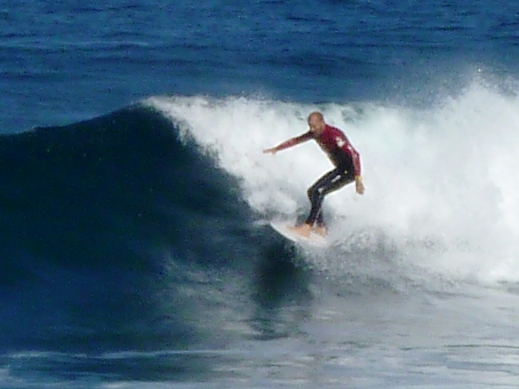
Great surfing at la Santa
|
13th to 17th January 2011 Yaiza to La Santa, Lanzarote
We left our delightful hotel at Yaiza very late and rather reluctantly. It had been a very comfortable centre for our rides and walks and a place to return to.
 |
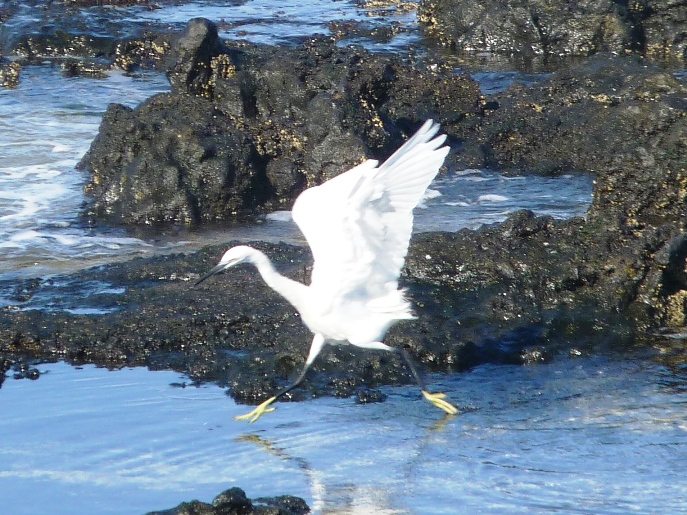
Little Egret on rocks near La Santa |
After again cycling over the Timanfaya mountains we arrived at La Santa village on the northern shores of the island. It was something of a come down to be in an ordinary apartment again even if this one does have good views of the surfing beach.
This part of the island is about as remote as it gets here. Before the decline in tourism a massive centre was built just along the coast to provide facilities for sporty types. It is now the only area we have seen on any of the three islands which appears to be thriving. The roads are full of cyclists on state of the art road bikes. There are runners all over the place looking just as miserable as they do in Weymouth. Many other sports are catered for. The management, well known to be an awkward sod, likened the whole place to the Verne Prison. He was glad to escape, having paid a hefty price to use the only internet available in the area.
Our stay at La Santa was perhaps a day or two too long. We did however very much enjoy exploring the local villages, particularly Caleta de Cabello and Caleta de Famera. Both have great surfing beaches and both still have dirt roads once we were off the main drags.
Access from here to the north of the island is blocked by 15km of steep coastal cliffs. There is supposed to be a path along them but it looks very precarious. In view of this we decided that this was as far north as we were going on this tour.


